 |
|---|
Remote Sensing for the advancement of Agronomy

Products and services
FARM MANAGEMENT PLATFORMS
DATA COLLECTION-SOIL MOISTURE
-SOIL FERTILITY
-WEATHER
-CROP PRODUCTION OBSERVATIONS
-CROP YIELD PREDICTION
AGRONOMIC TECHNICAL SUPPORT


About us
AgroGeoBW is a youth owned agribusiness that is the brain child of Earth Scientists meant to improve the agronomy economy of Botswana and alleviate government dependence, poverty, food insecurity, poor agricultural practices and the financial strain on small holder farmers.
The combination of soil science and remote sensing technology will allow for the formation of Geographic Information Systems which will allow us to capture, store, manipulate, analyze and manage data. The mandate of this organization is governed by the United Nations Sustainable Development Goals.
The instability of Botswana’s food security as a medium-income country has led to the necessity to utilize technology and develop policies for sustainable solutions to support a constantly growing population. AgrogeoBW intends to effect change from the grass root level including traditional farmers. We also intend to be an agricultural education hub to close the gap between policy authors and farmers.

REMOTE SENSING TECHNOLOGY
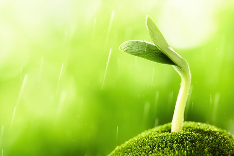
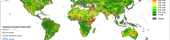
Remote sensing is the detection and monitoring of physical characteristics of real world phenomena without actually being in contact with them using satellites, air craft or ground based platforms . In agronomy various indices are used to quantify vegetation biomass and plant health for each pixel in a remote sensing image. This data can also be used as a reference point for climatic conditions and thus help predict harvest yields.
COMBATING FOOD INSECURITY
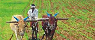
Rain-fed agriculture, particularly subsistence agriculture is a source of livelihood for the majority of the population in sub-Saharan Africa, approximately 76% in Botswana.An estimated 260 million people of the population in sub-Saharan Africa live in drought-prone dry lands.Food production in the region is characterized by annual fluctuations due to rainfall variability and there is more dependence on government assistance as well as heavy reliance on the environment. Populations grow exponentially and thus an equivalent food supply must be maintained, hence the need to explore technologies that can better aid our understanding of the interaction between climate and agriculture, particularly rain-fed, using Remote Sensing and Geographic Information Systems